Trans Augrabies MTB
STAGE 01
Detailed Route Overview
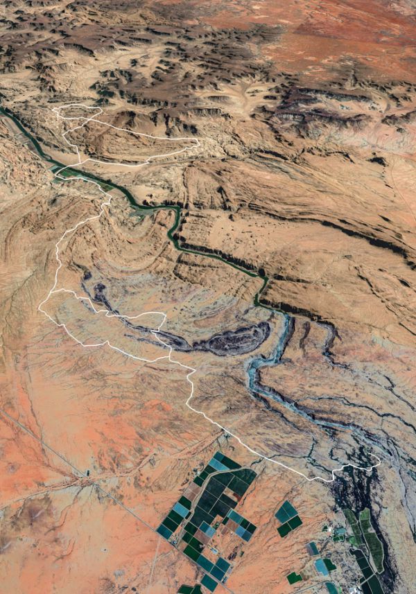
DAY ONE
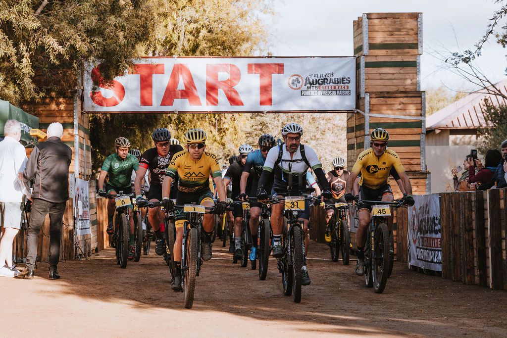
Day one of the Trans Augrabies MTB Stage Race starts in the Augrabies Park tourist Camp where you will experience temperatures of ±5°C in the morning.
LET'S TAKE YOU ON THE JOURNEY
0km- 15km
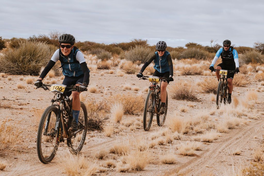
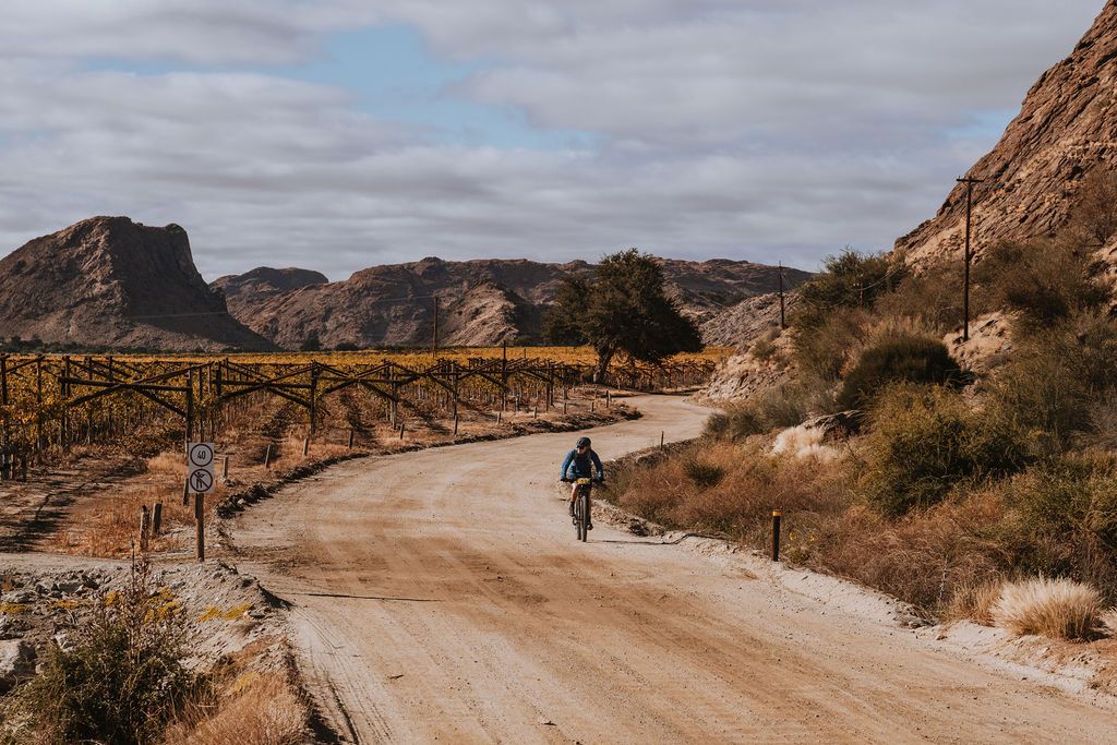
Follow the tourist route for 15km on an open gravel road with rolling hills and three cold slippery water streams (don’t fall here). On this part you will be amazed by the rock collar formations. You will probably spot some Giraffes and might even note a leopard. The surface of the road is good but sticky! At the end of the 15km is a water point, you can skip it but you will stop there when you come back at 65.5km.
15km– 21.5km
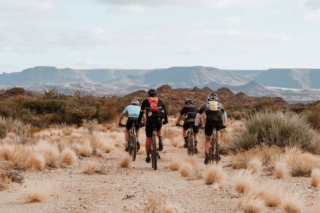
When you turn right on the spectacular downhill jeep track the scenery of trees and landscapes completely changes. The skilled riders will enjoy the ride down into the Blouputs valley. If you have time to look around, you will catch a glimpse of the Orange River.
21.5km– 25km
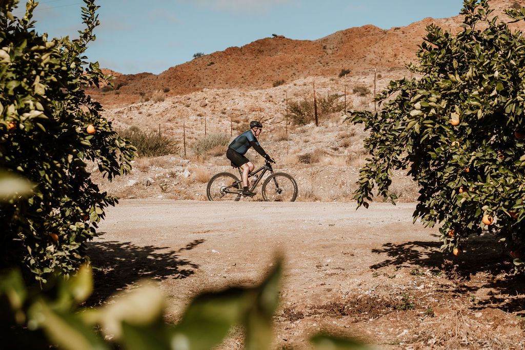
Turn left, exit the park on open gravel road (district road) passing through Citrus orchards and vineyards. Suddenly you will find yourself in a paradise of fruits and out of the dessert!
25km– 28km
From here you will proceed on a tar road though vineyards, crossing the orange river over the Blouputs – Vredesvalei Bridge to enter a small Village by the name of Vredesvallei. The local kids will be your biggest cheer leaders at this stage. If you have something extra, feel free to hand it to them!
28km– 34km
By this time you are in Vredesvallei and the well-known historical Riemvasmaak. From here on it is average 4.5% uphill! On the last 4km to the T-junction at 34km, it is supposed to be a district road but it will remind you of a farm road. While you are grinding your way upwards you will see a mountain before you and pray that it is not where the Trans Augrabies road is leading!
34km– 40km
After turning left at the T-junction onto jeep track again you will note again the spectacular surroundings. It is very likely that you have never seen this many rock and colour formations before. The road might feel flat but you will feel that something is keeping you back.
40km– 48.6km
On the 40km mark you will find the second water point that you will cross again after the 9km loop. Soon you will go into a 4km single track. The start will be easy but the last 1.2 has a downwards gradient of up to 13% with sharp bends and the lose material will be demanding all the way down. A sigh of relief when you hit the bottom without a fall! Please be extra careful here because it will be extremely tricky to get you out of there with no mobile phone reception. It all comes together as you are crossing the dry sandy river bed. Your legs will tell you a story while you are creeping up in the slightly sandy jeep track with the name of “gompad”. At 47.6km there is a slight relieve and then go slightly downhill to the same water point at 48.6km were you will cross the jeep track into a single track.
48.6km – 53.6km
From the water point on you will follow an amazing 3km single track over a huge weathered rock and passing rock formations that will remind you of some western Cowboy movies out of the seventies. The last 2km to Vredesvalei is an open fast downhill road, be aware not to fall out of the race here.
53.6 - 59km
This part is basically a reverse of 21.5km – 27km. As you go much slower through this part, hopefully now you will note more of the Orange River, vineyard and orchards.
59km – 65.5km
Though this part is a reverse of 15 -21.5km, it is a totally new story. Take on the uphill known as the toughest part of the day! You will gain an understanding of why previous winners will describe this as a tough, but absolutely amazing race!
A water point at 65.5km will save you.
65.5 – 71km
At the water point (after crossing the tourist route) you will proceed on a flowing jeep track and turn right on the tourist road.
71 – 82km
This is the last stretch back to the race village and is slightly downhill, crossing the three water streams again. This time you won’t mind whether the water is nice or cold, you will just be glad to see the end in sight.
82KM
TOTAL DISTANCE
1167M
TOTAL ELEVATION
Trans Augrabies MTB
DAY ONE ROUTE


